We’re located near Athens, OH, about 1 hour and 15 minutes southeast of Columbus. We’re in the foothills of the Appalachian Mountains, so no matter which route you travel, expect some curvy roads as you get close.
From Athens (8 miles, 13 minutes)
Starting at Ohio University, take Richland Ave across the Hocking River to the traffic circle. At the circle, take the first exit onto Route 682 and travel along the river until you reach the first stoplight (about 1.5 miles). At the stoplight, you’ll see White’s Mill on the right, and a gas station on the left. Turn left, toward the gas station, onto Route 56. Follow Route 56 for about 5.5 miles, through many tight curves and past signs for Fox Lake and New Marshfield. Turn right onto Five Points Rd. In 1 mile, Tenderfoot will be on the left. GPS will tell you you’ve arrived before you actually have. Go a little farther, and look for the mailbox that says Tenderfoot, 9365.
From Columbus/Northwest (73 miles, 1 hour 30 minutes)
Head east on US Rt. 33. (Route 33 intersects with the 270 outer belt in the southeast quadrant and intersects Route 70 east of the the 71 interchange.) From the 33/70 interchange, stay on Route 33 for 65 miles. Along the way, you’ll pass signs for Lancaster, Logan, and Nelsonville (home of Hocking Hills State Park). Immediately after passing the Fun Barn on the right, turn right onto Glen Ebon Rd. After 1 mile, Glen Ebon Rd will dead end at State Route 691. Turn left onto 691, and follow it for 5 miles. (Caution, these 5 miles are very curvy.) Turn left onto Five Points Rd. In 1 mile, Tenderfoot will be on the right. GPS may take you just past the driveway, so watch the mailbox numbers and look for the one that says Tenderfoot, 9365.
From Cleveland/Northeast (215 miles, 3 hours 30 minutes)
Head south on I-71 toward Columbus. After approximately 130 miles, take exit 107 for I-70 East toward Wheeling. In 3.5 miles, take exit 105A to merge onto US Rt. 33 East toward Lancaster. From this point, follow the directions above from Columbus.
Alternatively, if you’re driving from somewhere south of Cleveland on the I-77 corridor, take I-77 South until it crosses the Ohio River and enters West Virginia. At Parkersburg, WV, take exit 176 for US Rt 50 toward downtown, then follow signs for US 50 West toward Athens, OH. Stay on Route 50 for 42 miles, then take exit 17 for OH-682 North toward Athens. Merge onto Route 682, then get in the left lane. After a quick .2 miles, you’ll arrive at a 2-lane traffic circle. Enter the circle from the left lane and take the 2nd exit to stay on Route 682. From here, follow the directions above from Athens.
From Cincinnati/West (160 miles, 2 hours 40 minutes)
From I-275 E, take exit 63B to merge onto OH-32 East toward Batavia. Follow Rt 32 for 132 miles, then turn left onto Radford Rd. In 2.5 miles, turn left onto OH-56 West. Travel 4 miles on 56, then turn right onto Five Points Rd. In 1 mile, Tenderfoot will be on the left. GPS will tell you you’ve arrived before you actually have. Go a little farther, and look for the mailbox that says Tenderfoot, 9365.
By Plane
The nearest airport is the John Glenn Columbus International Airport (CMH). Upon arrival, you can either rent a car and follow the above directions from Columbus, or reserve a seat on the GoBus which will drop you off on Ohio University’s campus. With a little notice, we can plan to pick you up from there.
By Bicycle
We’re located 5 miles from the Hockhocking Adena Bikeway at its intersection with Glen Ebon Road near mile marker 13.5. That’s a 13 mile ride from the Athens Community Center, an 11 mile ride from Ohio University, a 6.5 mile ride from Eclipse Company Store, and a 4.5 mile ride from Nelsonville. With a little notice, we can plan to pick you and your bike up at the Glen Ebon Road crossing.
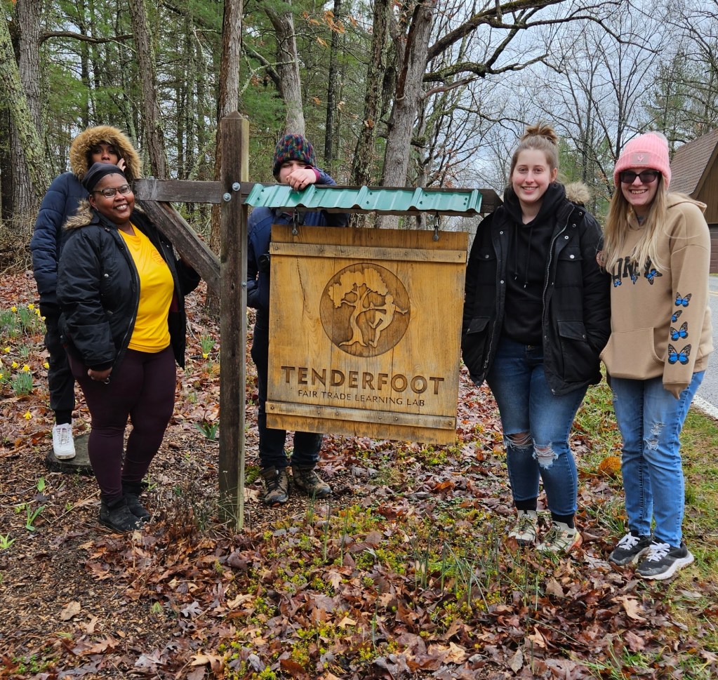
Tenderfoot Learning Lab, a 501(c)3 nonprofit organization
9365 Five Points Rd, Athens, OH 45701 | (740) 664-7116 hello@tenderfootlearninglab.org